Courtesy: USDA.gov.
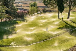
The U.S. Forest Service can now mark the beginning of seasonal greening thanks to ForWarn, a satellite-based assessment tool that tracks changes in vegetation.
Developed by a team of university and federal partners, ForWarn provides change maps for the continental United States that are updated every 8 days, and show the effects of wildfires, insects, diseases and other departures from the normal seasonal “green-up.” The system compares the timing of a new growing season with that of the previous 14 years. The median greenup dates provide a criterion on which managers can base expectations for the season.
Forest Service researchers say the information will be invaluable for land managers in anticipating and planning for weather events as well as defoliating insects. Particularly suited for management of grassland and forest areas, the system also is useful for mapping the urban footprint. With a mixture of species and vegetation that green up at different times, a vegetational, locally adapted model detects fine patterns to help determine the start of spring.